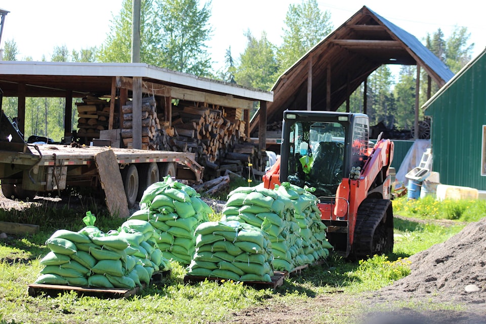
Officials in British Columbia are urging residents of communities at elevated risk of flooding to be prepared if water levels rise due to rapidly melting snow from too much rain.
Armel Castellan, a warning preparedness meteorologist with Environment Canada, says a fine balance is needed between rain and warmth to prevent this season’s flooding and allow for a gradual melt of record snowpacks.
He says May and June are the wet part of the year for the B.C. Interior, from the southern Rockies all the way up to Yukon, so the focus over the next few weeks will be to watch for heavy rain accompanied by lightning, or prolonged heat.
Castellan says up to 70 millimetres of rain could fall in some parts of the province between Thursday and Saturday.
He says the Liard River could get from 20 to 40 millimetres of rain where a flood warning is already in place for communities along that river and its tributaries in northeastern B.C.
In central B.C., flood watches have been posted for the Skeena, Bulkley, Quesnel and Horsefly rivers and their tributaries, while a high streamflow advisory is in place for a 600-kilometre stretch of the Fraser River, from Quesnel through Metro Vancouver to the ocean.
Castellan says it’s important to stay tuned to daily weather reports for various regions of the province because long-term predictions are tricky in assessing smaller tributaries and creeks where water levels could quickly rise.
Dave Campbell, head of the River Forecast Centre, says that while B.C. is in the middle of freshet season, when the mountain snowpack melts filling rivers, the latest data from June 1 shows an ongoing trend of high snowpacks that are about four weeks behind their usual melting schedule.
“In the high mountains in the Interior, we’re seeing not only the delay, but there’s still lots of snow to come down,” he says, adding the Quesnel and North Thompson rivers and their tributaries in the upper Fraser River have record snowpacks.
Campbell says similar snowpack conditions last occurred in B.C. in 2012.
He says current conditions mean there’s no risk of the level of flooding seen in parts of B.C. last November due to so-called atmospheric rivers.
Record-setting rain washed away highways, bridges and homes then and five people were killed in mudslides. Thousands of farm animals died when dikes burst in the Fraser Valley and farmers couldn’t move their livestock.
Pader Brach, executive director of regional operations for Emergency Management BC, says people in flood-prone areas should contact friends and family they could stay with in case of an evacuation order because commercial accommodations may be full with summer travellers.
—The Canadian Press
RELATED: 85% of British Columbians fear another extreme weather event, but few are prepared: survey
