The days are numbered for a stubborn arctic front pushing through the region, bringing inland temperatures down 10 degrees from seasonal norms.
“Yes, spring has been hard to find,” said Environment Canada meteorologist Alyssa Charbonneau. “Spring tends to go up and down, but we have certainly been in the colder stretch the past few days. We’re not going to see things turning into beautiful sunny weather, but the good news is we are seeing a shift in this pattern.”
An arctic ridge of high pressure over the prairies and the northeastern portion of B.C. has slowly been pushing its way toward the warm west coast. The result was a strong pressure gradient inland causing high winds and temperatures barely rising above freezing. Sun, rain, snow and dust were all part of the unpredictable weather the past week, punctuated by intense wind gusts.
“Terrace was definitely seeing some strong outflow winds, the kind of conditions that you see in the winter, where if it were a little bit colder it would have felt like an actual arctic outflow,” Charbonneau said.
Going forward, she predicts the temperatures will rise to near-seasonal norms by Saturday with daytime highs of around 11 C.
“It will be showery, but warmer. No snow, at least in the near future from what we can tell.”
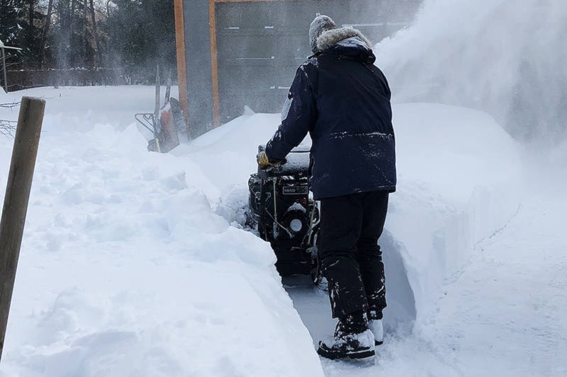
It’s not uncommon for April to be a wintry month, she added. Historical records show an average snowfall of 8.5 cm in the Terrace area.
Expect some flurries tonight but Saturday should bring partly sunny skies with highs of 7 C. From Sunday throughout the week the forecast calls for overcast and some rain, with daytime temperatures between 10 C and 14 C.
quinn@terracestandard.com
Like us on Facebook and follow us on Twitter