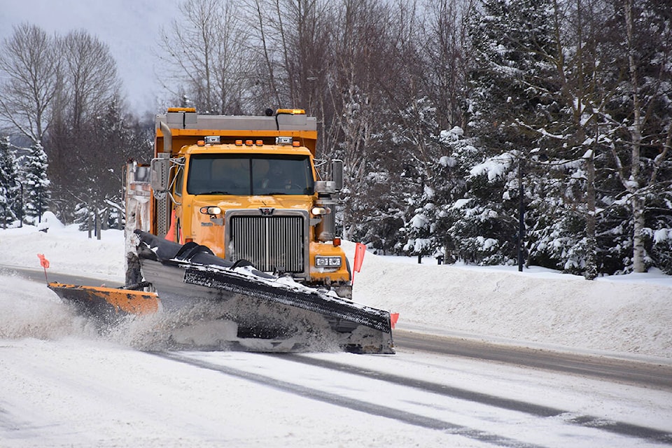
UPDATE: A spell of warmer temperatures has melted much of the packed ice and snow on Terrace streets, offering drivers a reprieve from slippery conditions.
But according to Environment Canada, more heavy snow — and possibly freezing rain — could be on the horizon for some northwest B.C. communities.
The area was upgraded from a winter storm watch to a winter storm warning today (Jan. 18) at 4:34 p.m., and there could be snowfall accumulations of up to 30 centimetres starting Wednesday in Stewart and 15 to 25 centimetres in the Nass Valley.
Terrace is expected to see comparatively less snow in the range of 10 to 20 centimetres, but that should change to freezing rain Wednesday night and rain on Thursday.
“A rapidly intensifying frontal system will quickly approach the north coast of B.C. By Wednesday morning,” the weather agency stated.
“Surfaces such as highways, roads, walkways and parking lots may become difficult to navigate due to accumulating snow. Rapidly accumulating snow could make travel difficult over some locations.”
A winter storm watch remains in effect for Kitimat.
READ MORE: City of Terrace advises residents to stay home, avoid travel due to hazardous road conditions