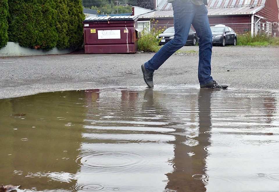
People in the Terrace area will need to keep umbrellas and rubber boots around for August, as the cold and rainy weather seen in July shows no sign of stopping.
“It was quite cold there, about 1.2 degrees [Celsius] below average in July and a little wetter than usual, there were 61 millimetres [of rain] versus 52, so 15 per cent over average,” said Doug Lundquist, Environment Canada meteorologist.
Based on 30 years of data (1981-2010), Terrace usually sees an average of 14 days with rain in July. This year there were 18 rainy days. Environment Canada no longer has a method to measure sunlight.
There are a couple of phenomena that factor into the soggy summer. A ridge of high pressure sits along the coast of California for most of the year. During warm summers, a semi-permanent low pressure weather system near the Gulf of Alaska migrates northwards allowing the high-pressure California system to move up to B.C.’s north coast and take its place.
High pressure systems are usually characterized by a lack of clouds, meaning more sunlight and warmer temperatures.
This year, the California system is taking longer to move north. The south coast of B.C. only started seeing the effects of the ridge of high pressure in the second half of July.
“It didn’t quite work its way far enough north, basically like anything from the mid coast from Bella Coola northwards through Rupert and Terrace and Haida Gwaii, you guys have stayed in that unsettled onshore flow and haven’t reaped the benefits of this ridge just because it hasn’t quite extended far enough north,” said a second Environment Canada meteorologist, Matt MacDonald.
MacDonald said that most of northern B.C. is in the same situation, with Prince George, the Bulkley Valley and as far north as Dease Lake and the Yukon experiencing colder and wetter summers than usual, with some places seeing more than double normal rainfall.
Environment Canada expects much of the same in August.
“The outlook does not look good here in the immediate future,” said MacDonald.
“Until that ridge really moves up the coast and starts flexing its muscles so to speak into the north coast, you won’t escape that unsettled showery pattern unfortunately.”
Temperatures are predicted to remain below the seasonal average and the rain is expected to keep falling, but there could still be some late summer weather before the year is over thanks to a huge ‘blob’ of warm water in the Pacific.
A ridge of high pressure has been idle over the northeast Pacific ocean, far off of B.C.’s coast. The water underneath the ridge is stagnant because there are clear skies and no wind. Ultraviolet rays from the sun heat the surface and without wind, the heat does not mix in and dissipate in deeper water. In turn, the warm water heats the air masses.
“Basically south of the Aleutians there’s a pretty massive blob of water out there and it’s three to four to even five degrees warmer than normal which is pretty significant, like we’re talking 2,000 kilometres across and 1,000 kilometres north to south,” said MacDonald.
The warm air from the ‘blob’ could move towards B.C. and have an effect on the coast before winter.
“There has been a relatively consistent signal for warmer than normal conditions as we get into September and October so there’s hope that at least the temperatures will improve.”
READ MORE: Environment Canada warns first heat wave of season coming to southern B.C.
ben.bogstie@terracestandard.com
Like us on Facebook and follow us on Twitter.