A long-desired wish to extend the Grand Trunk Pathway paralleling Hwy16 west to Kitsumkalum would be challenging and costly for either of two options studied, a report commissioned for the City of Terrace reveals.
Continuing on the south side of the highway would be constrained by the presence of Howe Creek and extreme closeness to the CN rail line while a second option to cross the highway at its intersection with Frank St. and build along the north side of Hwy16 would involve multiple property owners and driveways, indicates the McElhanney Consulting Services study released by the city last week.
The south option would be considerably more expensive because it would require an elevated 600-metre causeway structure over Howe Creek and a walkway structure under the vehicle bridge spanning the Kalum River at Kitsumkalum, factors which could cost as much as $2.3 million.
READ MORE: City readies millennium trail report
Although regarded as preferable to fit within the overall concept of the Grand Trunk Pathway plan and avoid road and driveway crossings, “this option was not considered technically or economically feasible due to the high cost of the required infrastructure and the low probability of project approval from CN Rail given the close parallel proximity to the rail line,” the study outlined.
McElhanney instead recommends a north side project with a projected cost of just over $550,000, not including any property acquisition required and changes to existing signage and impacts on property owners.
Under this option, the extension would end by connecting to the existing sidewalk portion of the Kalum River Bridge.
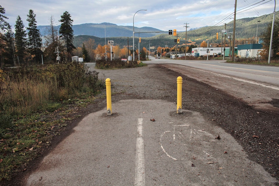
For the walkway portion, planners call for a paved surface of three metres wide with sufficient separation from the surface of Hwy16.
Aligning a north side pathway would also have to take into account transportation ministry property, the Billabong gravel pit and CN-owned land and a dozen existing driveways and other entrances.
McElhanney planners met with city officials, the provincial transportation ministry, the Terrace Beautification Society, the Kitsumkalum First Nation, Billabong Road and Bridge Maintenance and private property owners. They said they received no response from CN.
City councillors, sitting as a committee of the whole, received the report Jan. 21.
Kitsumkalum Band manager Steve Roberts said while its staffers were involved in discussions last year, as of late last week, the band had yet to receive a copy of the report.
“We’d definitely be interested in seeing what the options are,” he said.
READ MORE: Grand Trunk Pathway one step closer to completion
While conceived as a recreational addition to the city, the existing portions of the Grand Trunk Pathway are also used by Kitsumkalum residents as a safe pedestrian and cycling route to and from the city.
“This would help eliminate the need for our people to walk along the road,” said Roberts of the project proposal.
The first section of the Grand Trunk Pathway was built in 2000 as project signifying the start of the new millennium and so is popularly known as the millennium trail.
This final section would be known as the Skeena River Walk.