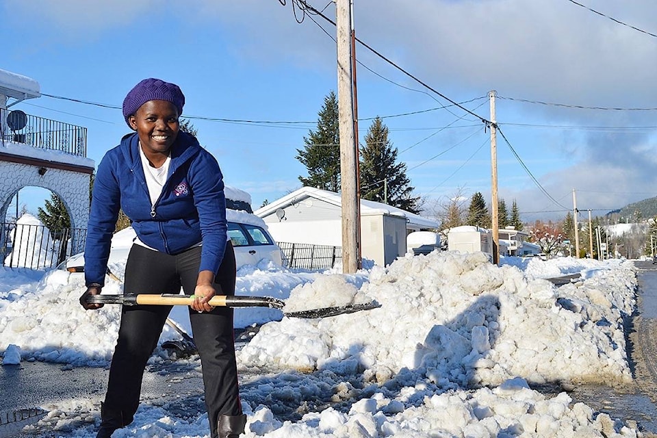
As Terrace recovers from Saturday’s 105-year record daily snowfall, Environment Canada has upgraded their snowfall warning with up to 40cm of snow Wednesday evening.
The storm falls short of Saturday’s 57cm snowfall, but Environment Canada meteorologist Matt MacDonald warns it will present its own challenges.
“You’re not out of the woods just yet,” he said. “The snow will get wetter and wetter. Last weekend it stayed relatively dry, but it’s important for homeowners to keep this in mind. If you didn’t clear off your roof from the last storm it’s probably a good idea to get out today before it starts piling up again.”
The worst of the storm is expected to run from tonight into Wednesday evening, with a risk of freezing rain
“It’s going to be pretty messy on the roads,” MacDonald said.
The temperature forecast fluctuates above and below freezing well into the weekend.
On Friday, a third pulse will move in with more snow before transitioning to rain. “It continues to look pretty unsettled for the weekend; not as significant of storms, but one after the other,” MacDonald said. “You’ll be pretty hard pressed to find any sunny weather in all of this.”
Based on Environment Canada data kept since 1912, last weekend’s snowfall shattered the previous Nov. 18 record in 1986 of just 11.4 cm. Saturday’s accumulation was a significant event, but it measured at only half of what many Terracites remember from Feb 2015, when two days of heavy precipitation demobilized the city with 109cm of snow.
As snowfall persisted throughout Saturday, several sections of highway both east and west of Terrace were either closed or reduced to single-lane traffic for snow removal and avalanche control. Terrace RCMP were called to several locations for abandoned vehicles and fender benders, but in most cases, including an accident on the Sande overpass, drivers had resolved the problem independently and moved on before police arrived on scene. A report of a multi-vehicle accident on Hwy16 turned out to be a minor incident that several good Samaritans had simply pulled over to assist with.
Heading into the rest of winter, B.C. is expected to receive above-normal levels of precipitation this year with below-normal temperatures to begin in January.
Due to the La Nina winter it’s forecasted all of Canada will be pounded by numerous snowstorms, but also sustained periods of milder weather.
Ski resorts are also anticipating a banner season.